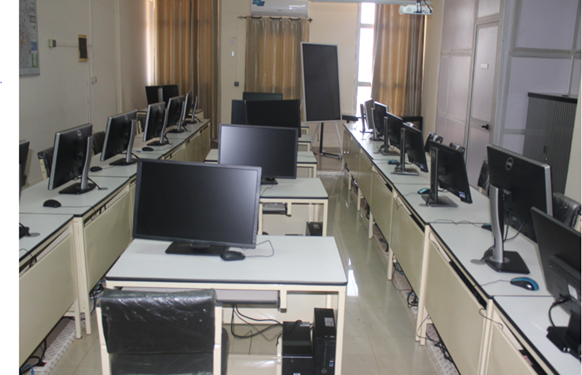
The GIS and Remote Sensing Laboratory is a fully functional laboratory that provides scientists and students with the necessary infrastructure for carrying out mapping activities associated with their research projects. The lab also provides value-added GIS and remotely sensed data to projects and offers short training courses in collaboration with the Capacity Building Programme of WASCAL.